Katja Berger · 22 September 2026
Meadfield Volunteers Chart Hidden Footpaths for Family Wildlife Routes
Volunteers across Meadfield have launched a project to identify and document lesser-known footpaths, with the goal of creating safer routes that allow families to observe local wildlife without disturbing habitats or venturing into hazardous areas. The initiative draws on local knowledge and systematic surveys, and it gained momentum in the months leading to September 2026 when several routes received final verification.
Project Origins and Methods
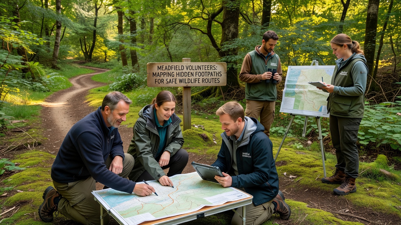
Residents formed the Meadfield Footpath Mapping Group after noticing increased visitor numbers on popular trails, which sometimes led to congestion and accidental damage to sensitive vegetation. Group members began by collecting oral histories from longtime residents, cross-referencing those accounts with current Ordnance Survey maps, then conducting on-site checks with GPS devices and basic ecological observation tools. Teams divided the parish into zones, walked each section multiple times at different times of day, and recorded features such as stream crossings, steep banks, and animal tracks while noting potential hazards like unstable ground or low visibility spots.
Data collection included photographs, written notes, and measurements of path widths and gradients. Volunteers flagged temporary markers only where necessary, then removed them after digital logging to keep the landscape undisturbed. The approach mirrors methods used by similar citizen-led efforts in other regions, including programs supported by Natural England that emphasize low-impact trail documentation.
Route Features and Safety Measures
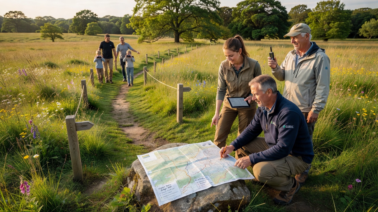
Initial findings revealed several overgrown tracks that connect existing rights of way while bypassing main roads and steep drops. One path skirts the edge of a meadow where deer often graze at dawn, yet remains screened by hedgerows that reduce the chance of startling the animals. Another route follows a disused drainage ditch lined with mature trees, offering shaded sections suitable for younger walkers during warmer months. Families gain access to viewpoints where birds and small mammals can be observed from a respectful distance, with clear sightlines that help parents keep track of children without venturing off marked ground.
Safety elements include updated signage at entry points that list seasonal conditions, such as muddy stretches after heavy rain or areas where cattle may graze. Volunteers also prepared simple route cards that highlight emergency access points and nearest parking, and they shared these materials through the parish council website ahead of the September 2026 rollout.
Wildlife Considerations and Monitoring
Ecological input came from local naturalists who advised on timing visits to avoid nesting seasons and breeding periods. Routes were selected to maintain buffer zones around known badger setts and bat roosts, while still permitting non-intrusive viewing opportunities. Monitoring continues through seasonal surveys that track species presence and any signs of trail erosion or litter. Early data indicate that the new paths distribute foot traffic more evenly, reducing pressure on the most heavily used corridors.
Similar mapping projects in other countries, such as those coordinated through Parks Canada guidelines on family-accessible wildlife corridors, show comparable patterns where dispersed routes correlate with steadier visitor numbers and lower reported incidents of wildlife disturbance. Meadfield volunteers reference these findings when refining their own protocols.
Community Involvement and Next Steps
Parish events held throughout 2025 introduced the project to residents and invited feedback on proposed routes. Schools contributed by testing short sections with supervised groups, noting which segments worked best for different age ranges. Local businesses supplied materials for temporary waymarkers and printed leaflets, while the parish council provided meeting space and helped publicize progress updates.
By September 2026 the group plans to release an interactive online map that layers the new paths over existing public rights of way, complete with accessibility ratings and seasonal advisories. Training sessions for additional volunteers are scheduled so that ongoing maintenance and further exploration can continue without overburdening the original team.
Conclusion
The Meadfield project demonstrates how coordinated volunteer effort can expand safe access to natural areas while protecting the very features that draw visitors. Continued monitoring and community input will determine whether the mapped routes meet their intended goals over the coming seasons.