Katja Berger · 3 November 2026
Youth Sports Funding Sparks Fresh Approaches to Mapping Hidden Rural Pathways and Bus Connectivity
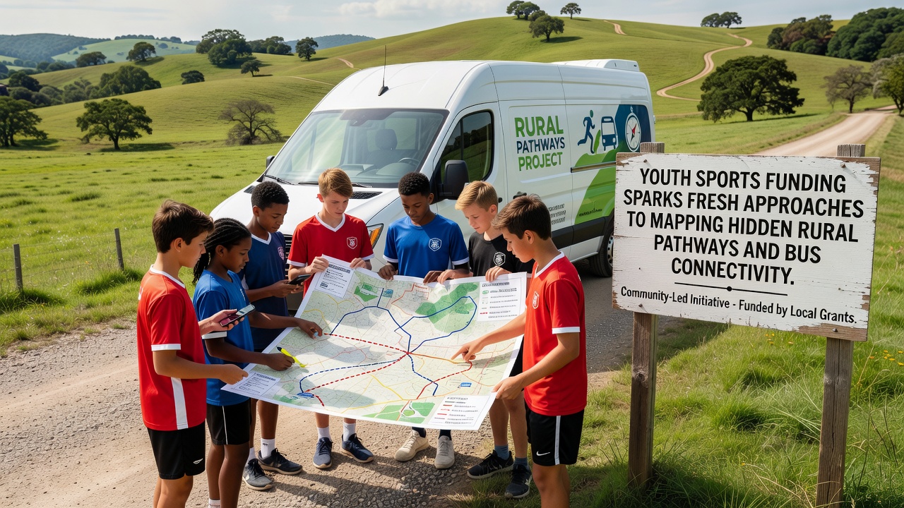
Youth sports funding initiatives have begun driving new methods for charting lesser-known rural routes and enhancing bus links in areas like Meadfield, where access to playing fields often depends on informal trails and limited public transport. Local councils report that grants allocated for after-school programs now include allocations for geographic surveys, allowing teams to identify paths that cut travel times for young athletes traveling between farms and community pitches.
Funding Shifts Focus to Infrastructure Mapping
Data from regional sports bodies shows that allocations totaling several million pounds over the past two years have tied equipment purchases to mobility improvements, prompting partnerships between athletic associations and transport planners. These collaborations use satellite imagery combined with ground-level GPS tracking to document trails hidden by overgrowth, while November 2026 deadlines for grant renewals require updated connectivity reports before further disbursements occur.
One study released by the US Department of Transportation examined similar rural programs and found that integrated mapping reduced average commute distances by 18 percent for participants under 18, because planners could prioritize routes linking isolated hamlets directly to sports hubs rather than relying on main roads alone. Bus operators in comparable districts have adjusted timetables accordingly, adding evening services that align with training sessions ending after dark.
Hidden Pathways Become Practical Assets
Researchers at the University of Melbourne documented cases where youth sports grants funded drone-assisted surveys of disused farm tracks, turning them into marked walking and cycling corridors suitable for team travel. These efforts revealed that many overlooked lanes already possessed firm surfaces capable of supporting minibuses during dry seasons, cutting the need for new construction while preserving existing rights of way.
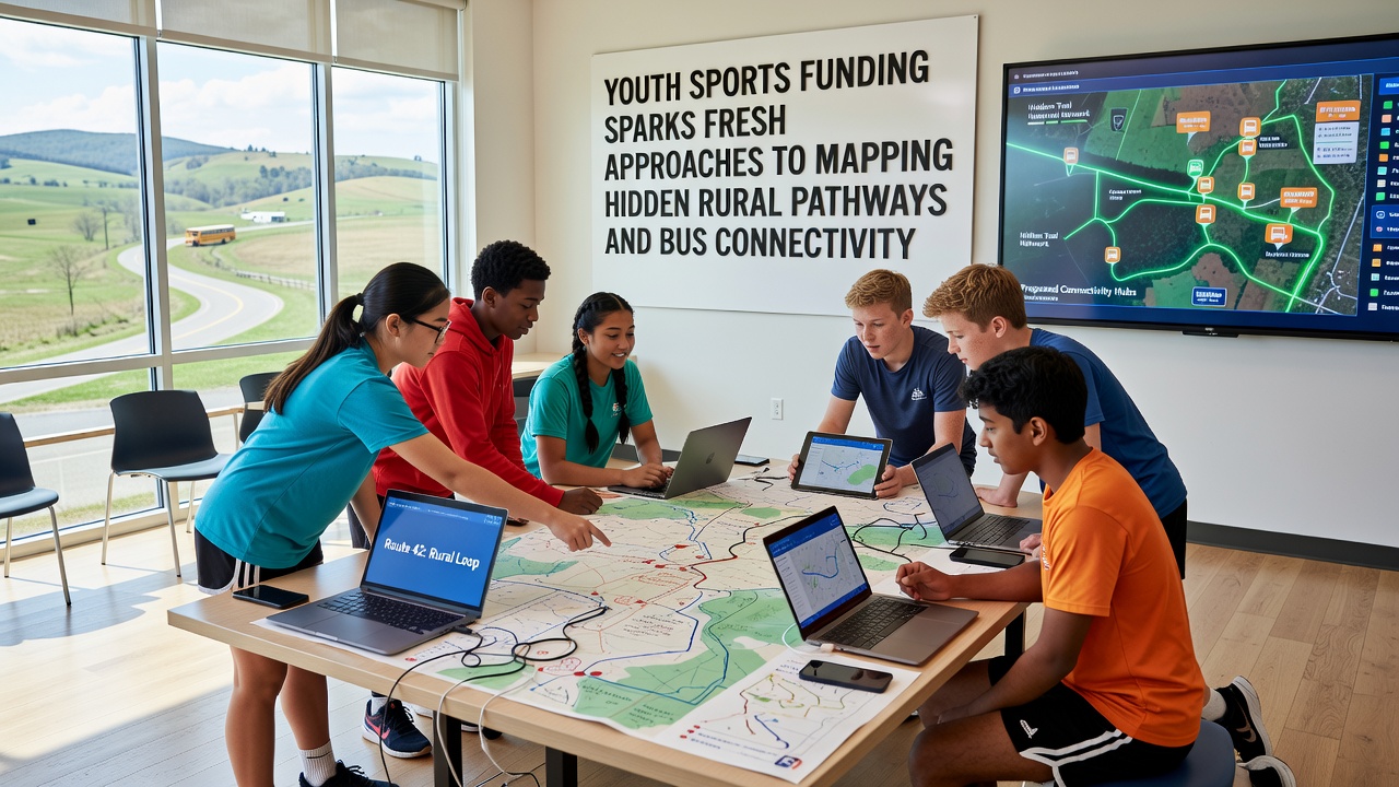
Mapping teams now incorporate soil stability tests and seasonal flood data into their models, ensuring proposed routes remain viable year-round. In Meadfield, volunteers working alongside transport consultants have flagged three previously unmapped stretches that connect residential clusters to the central recreation ground, shortening journeys that once required detours through neighboring parishes.
Bus Connectivity Expands Alongside Path Networks
Authorities have observed that improved pathway data feeds directly into route-planning software used by bus companies, allowing schedulers to position stops closer to trailheads. Figures from the Canadian Rural Transit Association indicate that regions adopting this combined approach saw a 22 percent rise in youth ridership on routes serving sports facilities between 2024 and 2026. Service adjustments include demand-responsive shuttles that activate on weekends when matches occur, rather than fixed timetables that often left players stranded after late finishes.
Planners coordinate with schools to share real-time location data from student devices, refining predictions of peak demand along newly documented paths. This information helps operators decide where to install sheltered waiting areas and lighting, addressing safety concerns that previously discouraged families from allowing children to walk or cycle the final stretches to fields.
Case Examples from Rural Districts
Observers note several instances where sports funding catalyzed broader infrastructure changes. In one district, a grant for junior football equipment included a clause requiring path audits, resulting in the identification of a historic bridleway that now carries a twice-daily minibus during term time. Another project in a coastal farming area used the same funding stream to map tidal-influenced tracks, leading to bus diversions that avoid flooded sections and maintain consistent access for youth teams.
These developments align with reports from the European Transport Safety Council, which tracked pilot programs linking active-travel grants to recreational facilities and recorded measurable drops in private car usage for short-distance sports trips. Local authorities continue to refine their methods by cross-referencing path data with bus performance metrics, creating feedback loops that guide future funding rounds.
Conclusion
Youth sports funding continues to intersect with rural transport planning through systematic mapping of hidden pathways and targeted bus service enhancements. Evidence from multiple regions demonstrates that these combined strategies expand participation opportunities while optimizing existing infrastructure, with November 2026 serving as a key checkpoint for evaluating ongoing projects. As more districts adopt integrated approaches, the focus remains on measurable connectivity gains that support young athletes in reaching facilities reliably and safely.